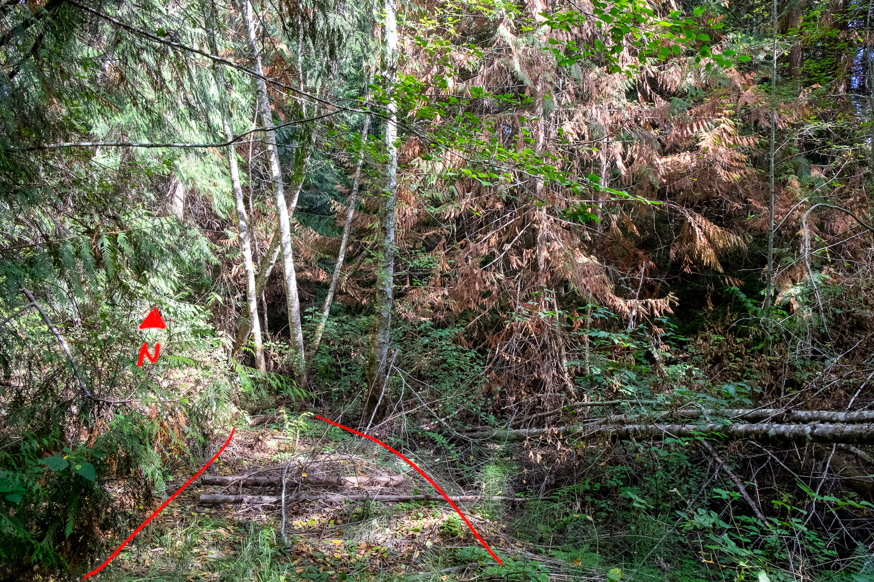
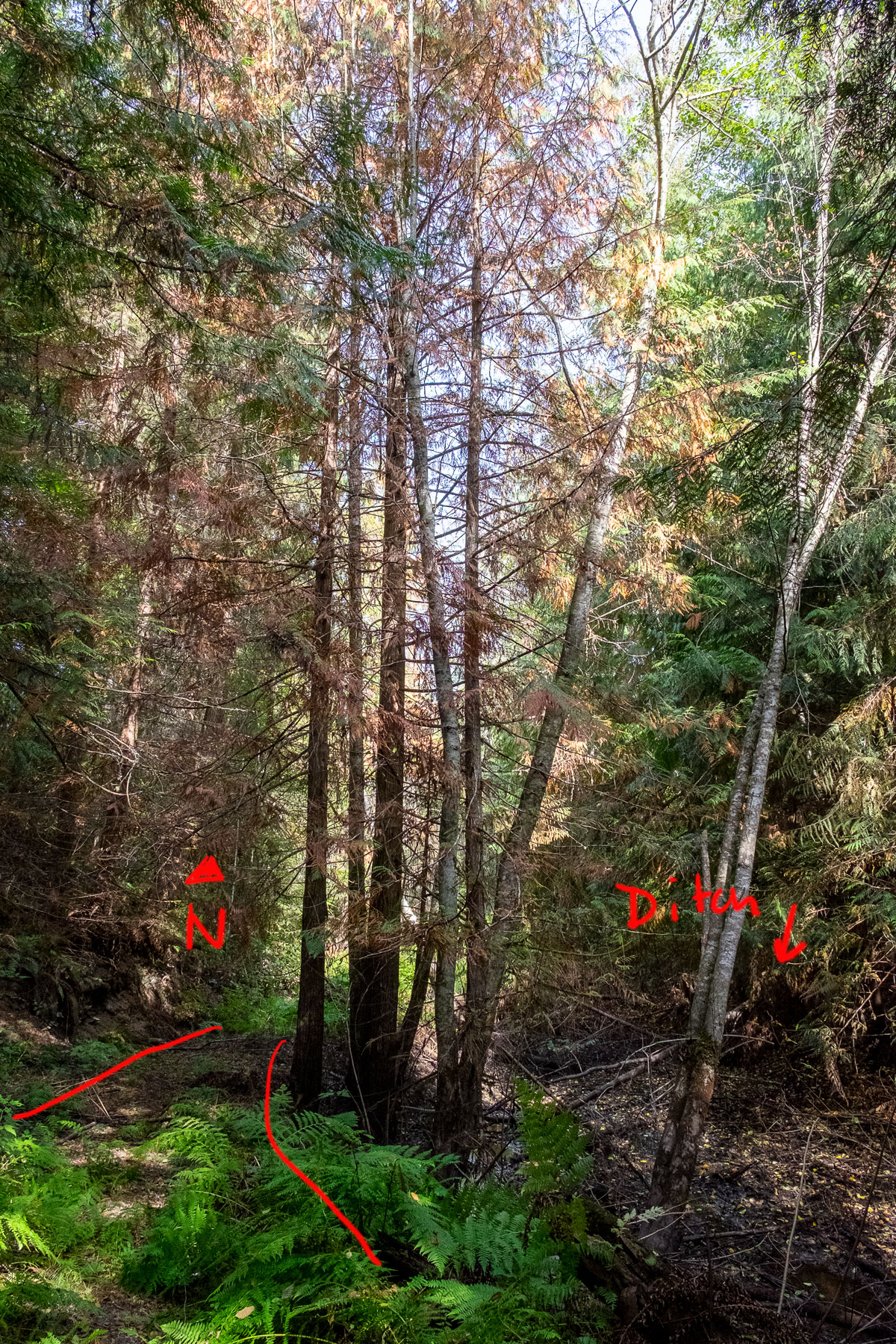
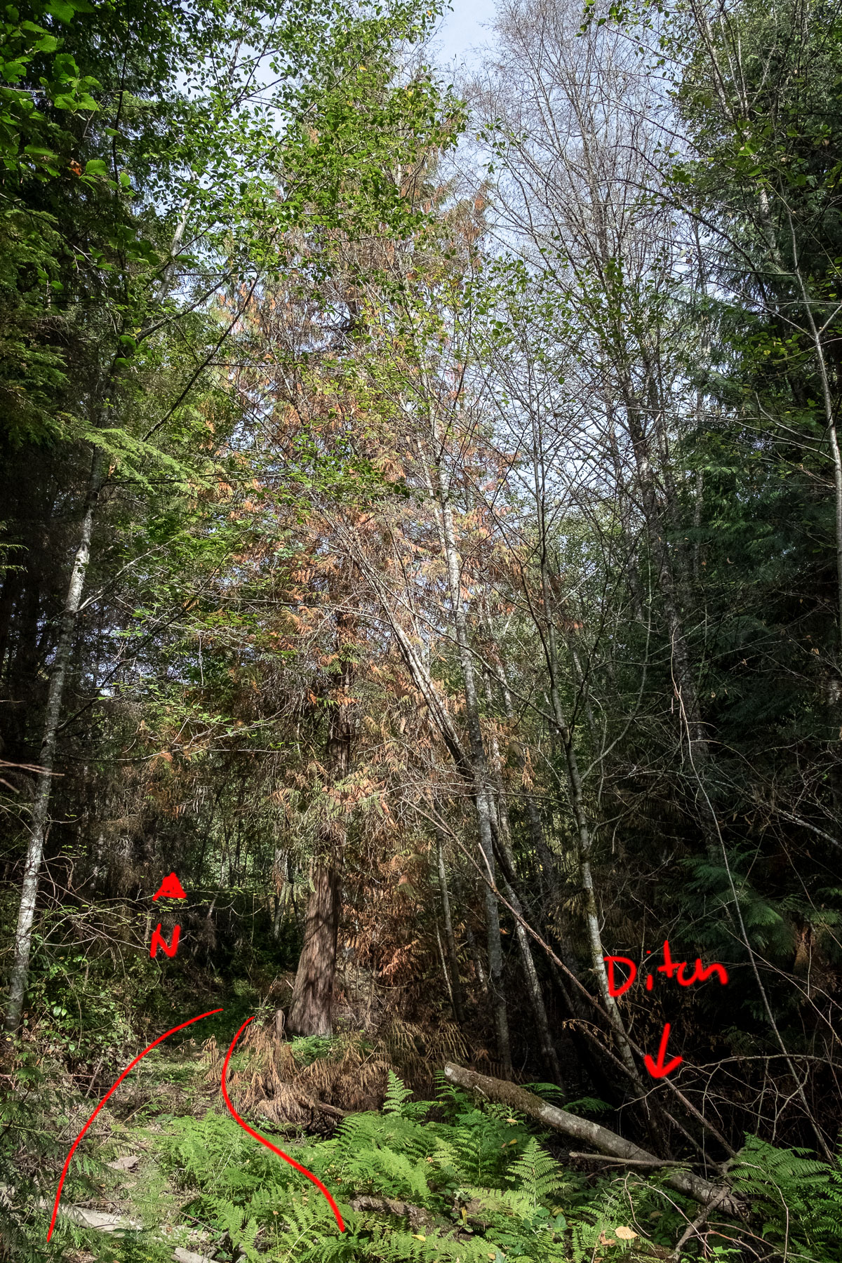
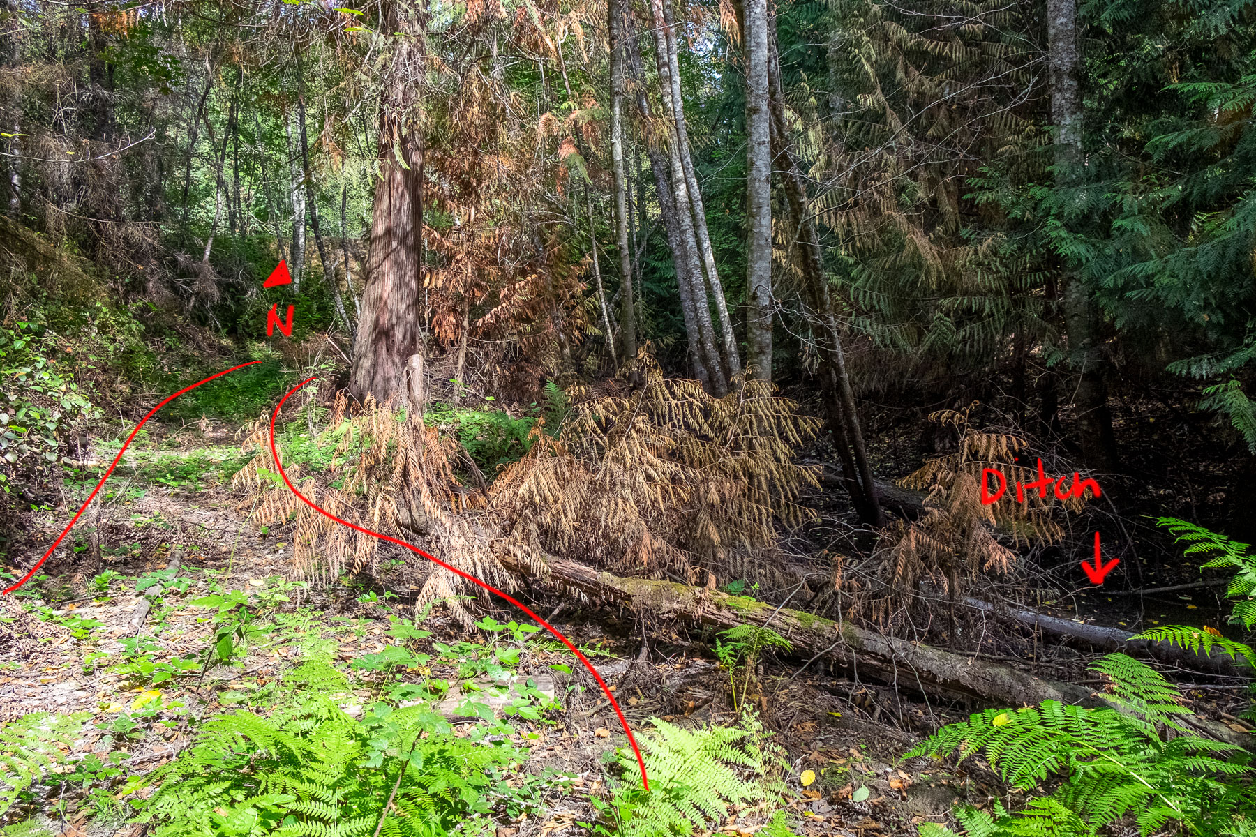
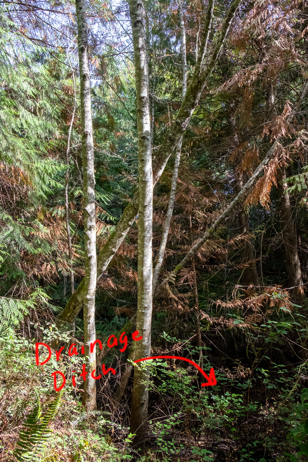
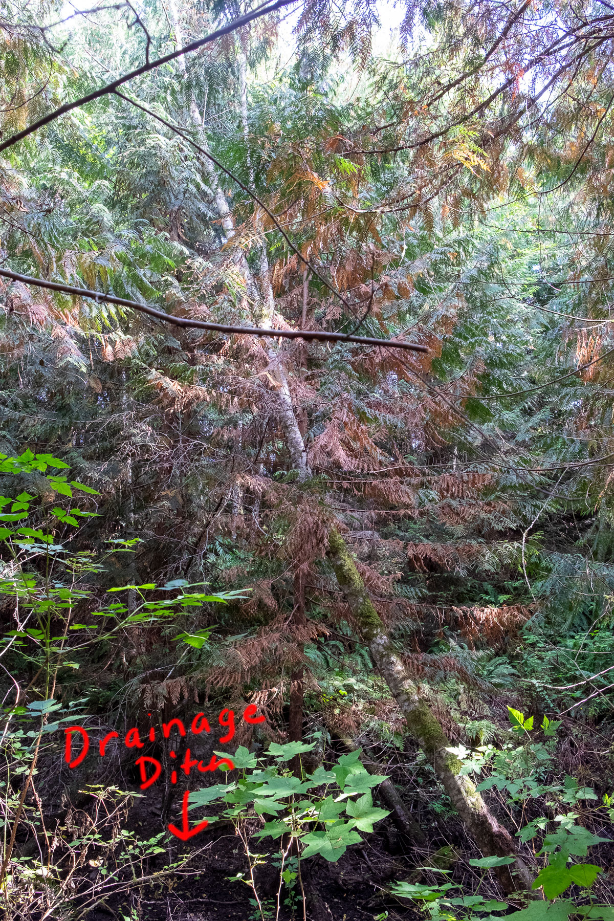
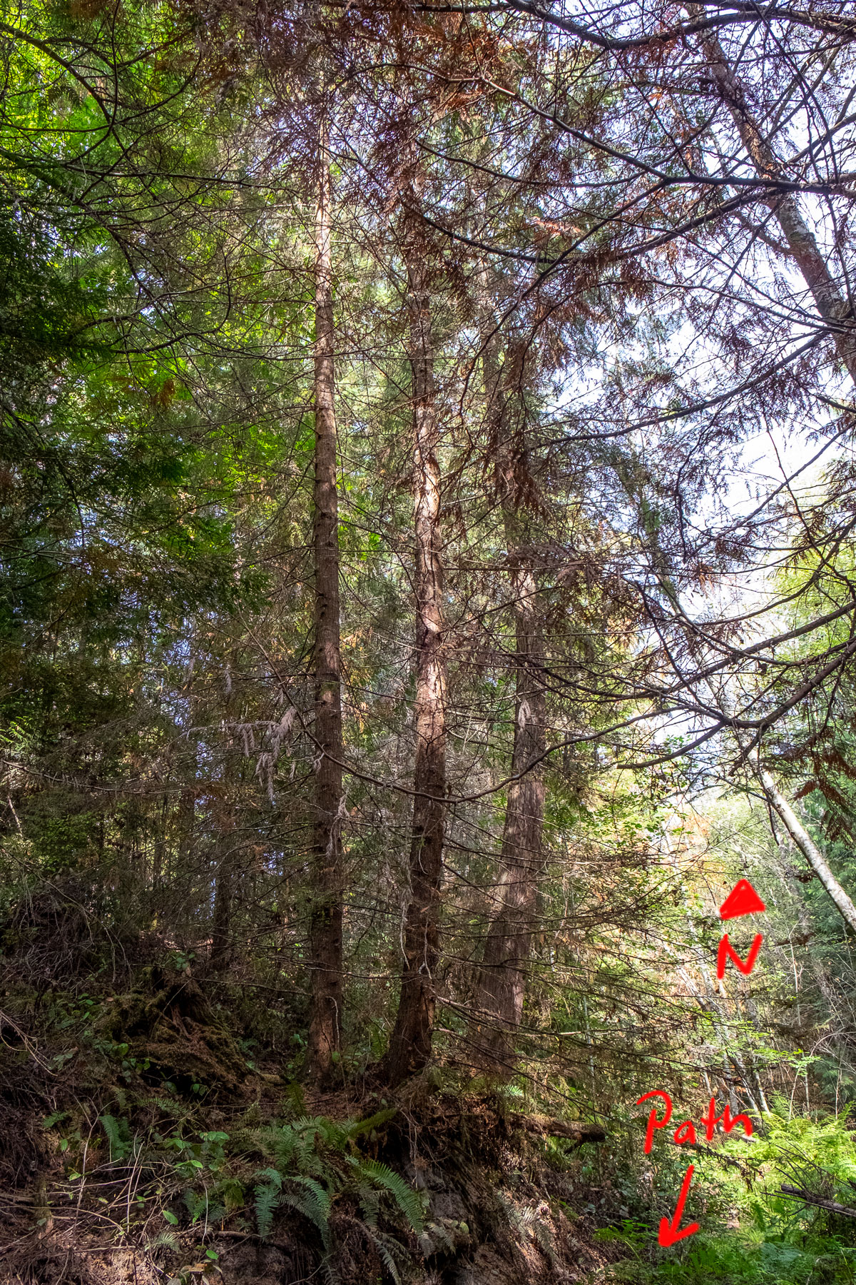
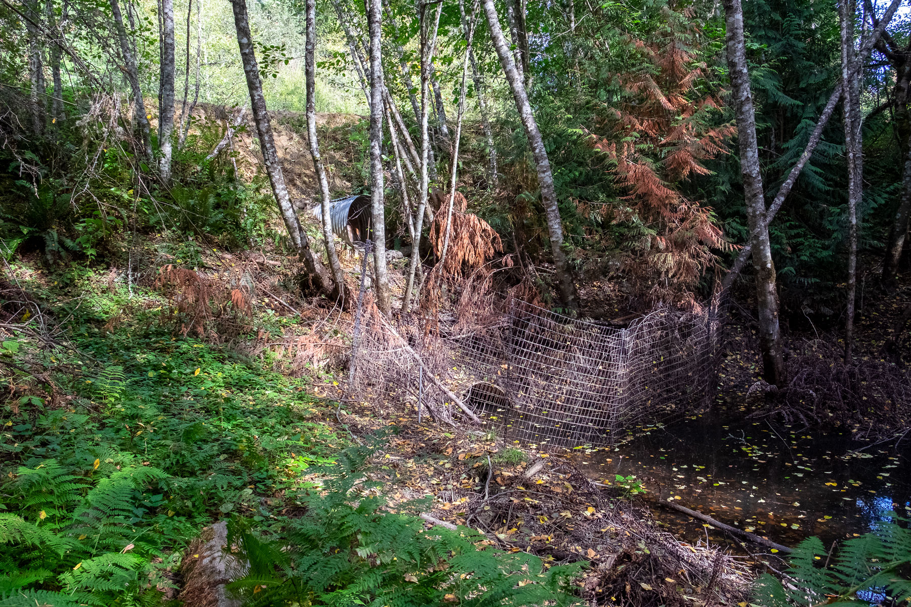
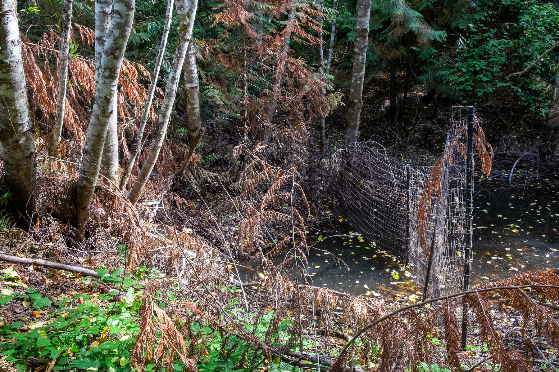
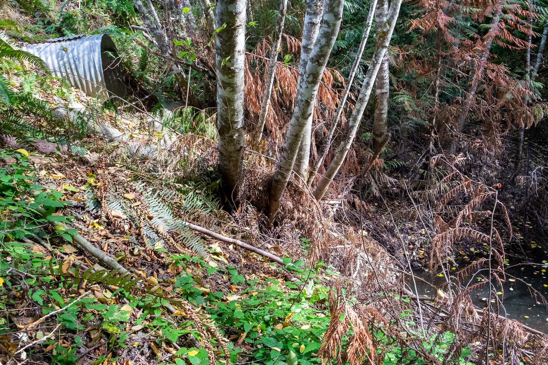
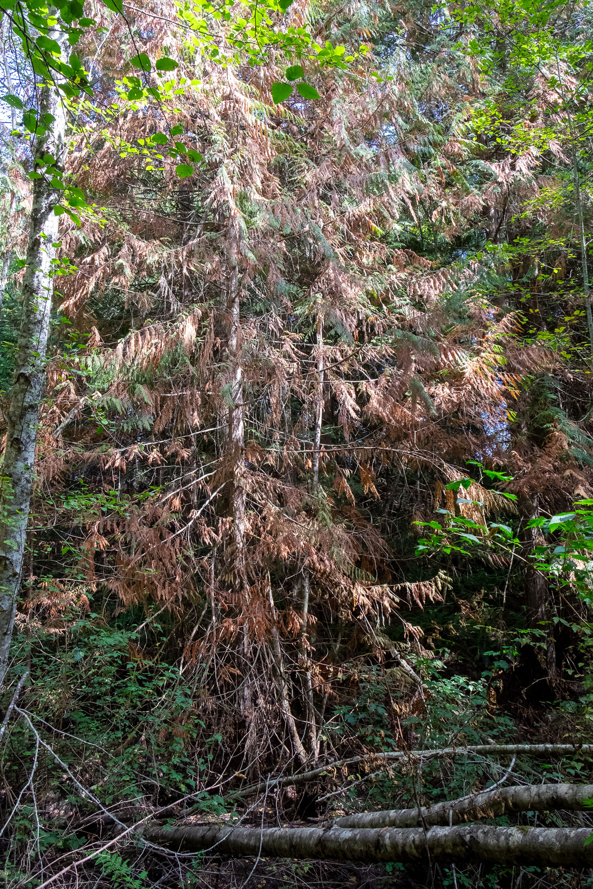
I walked the drainage ditch on September 15th. These images were taken from our property up to the culvert (walking from south to north with the ditch on the east). The water level was finally low enough that the pathway was accessible all the way along Frank & Kylea’s property.
For the most part, the images were taken looking either North, or NE. I’ve marked some of the images to give some orientation; otherwise the images can be award to decipher.
Be sure to click on and image to see the entire image and to open the manual slideshow capability.